

Mt Umunhum Open Space Preserve
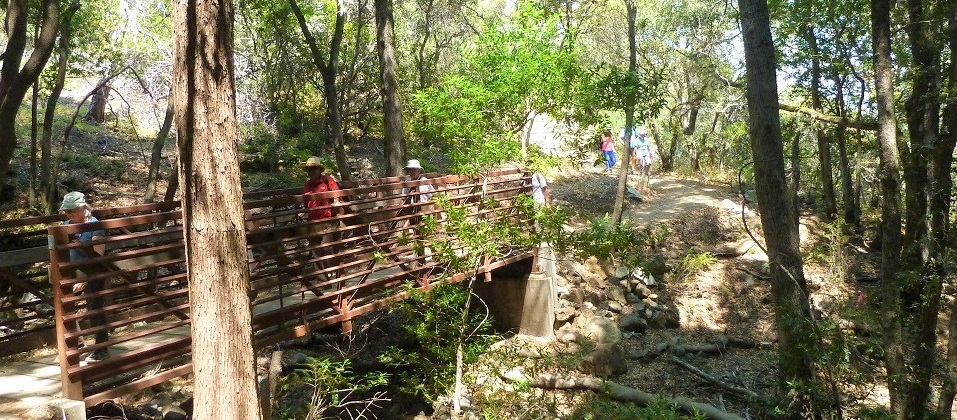
Mount Umunhum is one of the highest peaks in the Santa Cruz mountain range at 3,486 feet. From its summit, visitors can experience 360-degree views from the Pacific to the Sierra Nevada. There is a 3.7-mile gradual uphill (1100 foot climb, 7.4 miles roundtrip) to the summit from the lower parking lot. The trail has views along the way and some shade from the tree canopy. There are exhibits at the summit shelter and viewpoint around the historic radar tower and below. There are restrooms at the summit. There is no drinking water so please bring plenty of water to stay hydrated.
Requirements
Bikes are allowed on designated trails. Helmets are required for all riders at all times. Please observe the 15-mph trail speed limit (5-mph when passing or approaching blind turns).
Operating Hours
7 AM to one half hour before sunset.
Map
Click for MapDirections
Mt Umunhum is only accessible by Hicks Rd to Mt Umunhum Rd. Do not take another route suggested by GPS or online maps as these are wrong. There are two parking lots – the upper Mt Umunhum Summit parking area has 53 spaces including four ADA spots and the lower Bald Mountain parking area that is about half the size. There is also a small parking lot at the intersection of Hicks Rd and Mt Umunhum Rd for those who want to bike about 8 miles to the top.
Contact Info
Contact Midpeninsula Regional Open Space District by phone (650) 691-1200 or email info@openspace.org